When planning a trip to the “Aquarium of the World,” your first instinct is probably to pull up a standard map of Baja California.
But staring at a static mix of highway lines and borders won’t tell you the real story. A flat image can’t show you how long it actually takes to navigate winding desert roads, exactly where your cell service will vanish, or which hidden bay holds the largest concentration of whale sharks this winter.
Stretching a massive 760 miles (1,220 km) south of the US border, this is the second-longest peninsula on Earth. It’s a rugged, wild frontier split into two entirely different states: Baja California (Norte) and Baja California Sur.
To help you plan an extraordinary and safe journey, we’ve built the ultimate 2026 interactive planning tool. Forget the paper maps; this is your dynamic guide to driving realities, survival logistics, and the best pelagic wildlife hubs in the south.
Baja Expedition Planner Map
Click on the interactive hubs to explore driving logistics, wildlife areas, and critical route checkpoints.
La Paz Hub (Whale Sharks & Espiritu Santo)
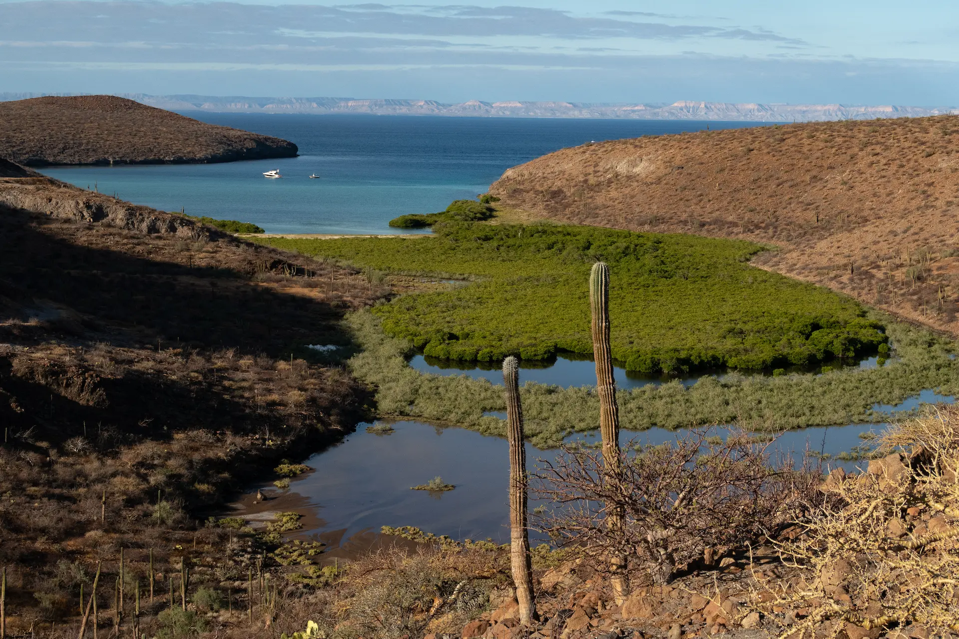
The core eco-tourism hub of Baja California Sur. Gateway to the protected juvenile whale shark feeding zones and the volcanic archipelago of Espiritu Santo Island.
- Whale Shark Sanctuary Area
- Los Islotes Colony
- Playa Balandra Protected Area
La Ventana Corridor (Orcas & Mobula Rays)
A pristine coastal strip along the Sea of Cortez. Famous for offshore seamounts and pelagic corridors where massive spring aggregations draw apex marine predators.
- Cerralvo Oceanic Island
- La Ventana Road Terminal
Magdalena Bay (Pacific Gray Whales)
A vast, complex wetland and lagoon ecosystem facing the open Pacific Ocean. Globally recognized as the primary nursery and birthing sanctuary for the Eastern Pacific Gray Whale.
- Puerto Chale Sanctuary
- Puerto San Carlos Hub
Los Cabos (Transit & Airport Gateways)
The primary entry portal for international travelers exploring Baja California Sur. Anchored by heavy maritime patrol operations and infrastructure.
- SJD International Airport
- The Land’s End Arch
The Reality of Highway 1: Driving Distances & Logistics
If you’re hitting the road, Federal Highway 1 (Carretera Transpeninsular) is your lifeline. The scenery is spectacular, but driving in Baja California Sur takes real preparation. Fuel stations can be few and far between, and driving after dark is a hard pass due to free-roaming livestock and zero streetlights.
To take the guesswork out of your itinerary, our captains and logistics teams have logged the exact, real-world travel times for the most popular tourist corridors in the southern state.
| Starting Point | Destination (Gray Whale Sanctuary) | Approximate Distance | Estimated Drive Time* |
| La Paz | Puerto Chale | 177 km | 2 h 30 min |
| La Paz | Puerto San Carlos | 267 km | 3 h 30 min |
| La Paz | Puerto López Mateos | 285–295 km | 4 h 15 min – 4 h 30 min |
Pro Tips for the Road:
- Fuel Up Early: Never let your tank drop below half. Remote gas stations (like the stretch heading to San Ignacio Lagoon) can occasionally run out of fuel.
- Download Offline Maps: Cell service is highly unreliable outside major hubs like Los Cabos, La Paz, and Loreto. Always download your routes before leaving the hotel Wi-Fi.
- Take the Toll Roads (Cuotas): When driving from Los Cabos International Airport (SJD) up to La Paz, pay the toll. These roads are significantly faster, safer, and better maintained than the free coastal routes.
Navigating the Wildlife Hubs: What to See and Where
A true map of Baja isn’t defined by its cities; it’s defined by its marine ecosystems. Flanked by the raw power of the Pacific to the west and the sheltered, nutrient-dense Sea of Cortez to the east, the peninsula is a living sanctuary.
Here is how to navigate the southern half of the peninsula for the absolute best wildlife encounters:
The La Paz & Balandra Corridor
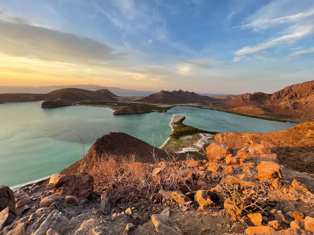
As the capital of Baja California Sur, La Paz is the ultimate staging ground for marine exploration. Just 30 minutes north of the city lies a bay frequently voted the most beautiful beach in Mexico.
But because it’s a highly protected Flora and Fauna Area, spontaneous visits are no longer possible.
To navigate the strict entry shifts and secure your access bracelet, you need to read our complete Guide to Playa Balandra: Access, Reservations, and Rules before you even start the car.
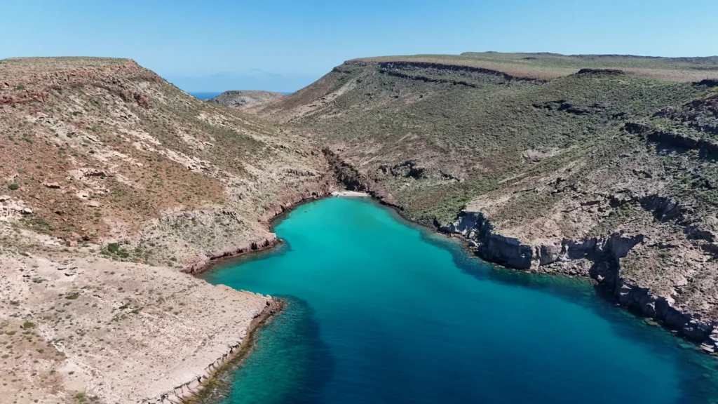
The Crown Jewel: Espiritu Santo Island Look slightly offshore from La Paz on our interactive map, and you’ll spot the Espiritu Santo Archipelago. This UNESCO World Heritage site is a jagged volcanic island ringed by turquoise waters.
It’s home to massive colonies of playful sea lions, sea turtles, and pristine coral reefs. Since the island is strictly accessible by boat, driving yourself isn’t an option.
To make sure you hit the best snorkeling spots while following strict environmental regulations, we highly recommend booking a specialized Espiritu Santo Island Tour led by certified marine biologists.
The Pelagic Frontier: La Ventana & Cerralvo Island Drive about 45 minutes southeast of La Paz, and you’ll hit the coastal kitesurfing town of La Ventana. Looking out over the Sea of Cortez, you’ll see Jacques Cousteau Island (formerly Cerralvo Island).
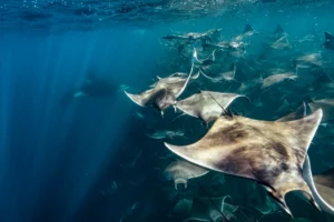
Between April and July, this exact coordinate becomes the stage for one of the most explosive wildlife events on earth: the mass aggregation of thousands of Mobula rays. This all-you-can-eat buffet draws the ocean’s ultimate apex predators.
For serious adventurers, tracking these magnificent creatures on a high-speed Orca & Mobula Ray Expedition is the absolute pinnacle of Baja exploration.
Plan Your Route with the Experts
A map can point you to the destination, but pulling off the perfect expedition takes profound local knowledge. The desert is unforgiving, and the ocean operates on its own schedule.
At Mexico Travel Adventure, we don’t just read the map we live it. Whether you want to hike the crimson trails of Balandra, swim alongside juvenile whale sharks, or board a multi-day liveaboard dive trip to the remote Revillagigedo Archipelago, our team of local captains and naturalists has your logistics sorted.
Leave the navigation to us. Let’s build your Baja adventure today.